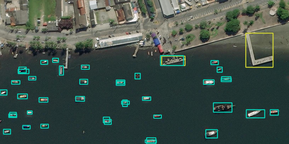
Real time object detection on maps via YOLOv5
Real time object detection on maps via YOLOv5
Authors
- Guilherme Martiniano de Oliveira
- Aditya Murti
Dataset
The dataset used in our experiments is DOTA DATASET (The DOTA images are collected from the Google Earth, GF-2 and JL-1 satellite provided by the China Centre for Resources Satellite Data and Application, and aerial images provided by CycloMedia B.V. DOTA consists of RGB images and grayscale images. The RGB images are from Google Earth and CycloMedia, while the grayscale images are from the panchromatic band of GF-2 and JL-1 satellite images. All the images are stored in ‘png’ formats. Most of the images are of varying sizes.
The total number of images is 2806 and the split is the following:
- Training Images: 1,411
- Validation Images: 458
- Testing Images: 937
Models
The project tested two models for the application. The models employed are Yolov5n and Yolov5l, both had two experiments - one with albumentation and one without.
Results
| Model Size | mAP-50 | mAP-50:95 | Precision | Recall |
|---|---|---|---|---|
| Yolov5n with Albumentation | 7% | 2.9% | 65.4% | 8.5% |
| Yolov5n without Albumentation | 5.4% | 2.2% | 42.1% | 7.3% |
| Yolov5l with Albumentation | 17.2% | 8% | 78.8% | 17% |
| Yolov5l without Albumentation | 14.8% | 6.1% | 75.8% | 16.3% |